Target Population Density Data

Description
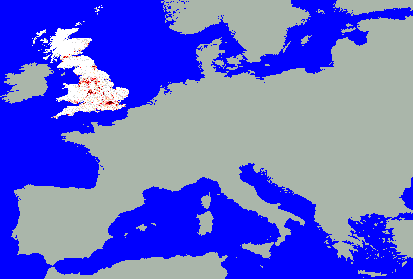
The source data was projected using ArcInfo into the required projection and aggregated to a 1DM resolution, the view above displays the classified density.Source=SURPOP 200meter ArcInfo grid coverage of Great Britain census population data.