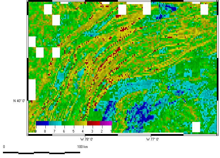
Classification of Pennsylvania
All maps on this page use 1/64 divisions of 1:24,000 DEMs of Pennsylvania.
The folded ridges of the Appalachians are the most prominent feature on all maps.
The Great Valley appears clearly on all maps.
The Susquehanna River flows SE in the SE portion of the map; it appears on all the maps.
The Allegheny Front appears in the NW corner of the map; it also appears on all the maps.
These maps emphasize the importance of the terrain around Gettysburg, and why the pivotal battle of the American Civil War took place there.
There are 5 maps in 4 categories:
Flatness (ln(S1/S2))
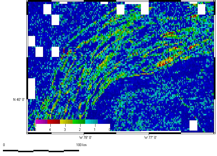
Organization (ln(S2/S3))
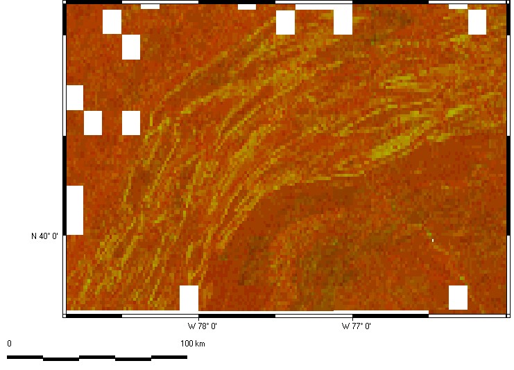
Two parameter classification
This classification uses
steepness, an inverted ln(S1/S2), to control the red color,
organization, ln(S2/S3), to control the green color.
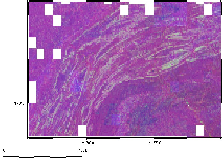
Three parameter classification
This classification uses
steepness, an inverted ln(S1/S2), to control the red color
organization, ln(S2/S3), to control the green color
natural logarithm of elevation to control the blue color
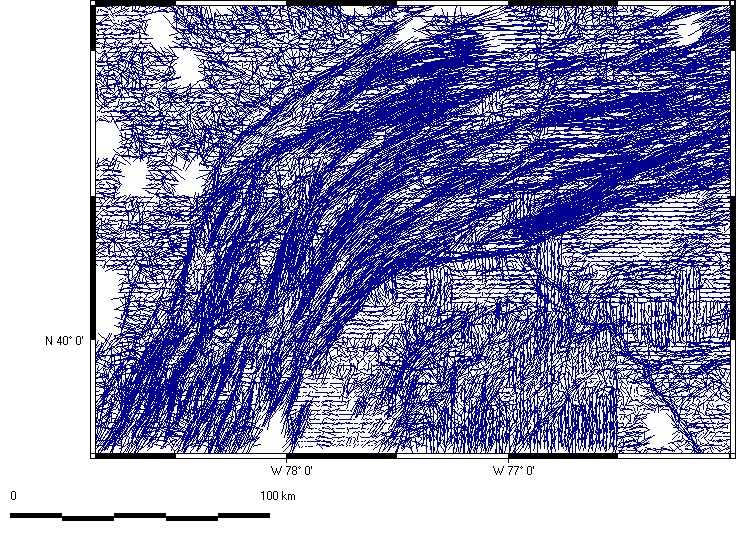
Grain overlay
The lines show the strength and orientation of the computed fabric, with the length and orientation of the lines.