GEOG5870/1M: Web-based GIS A course on web-based mapping
Introduction
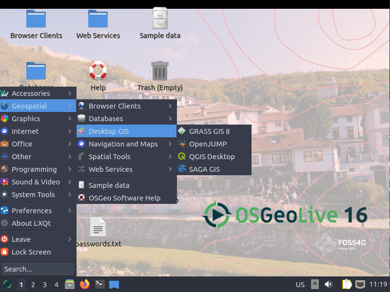
OSGeo Live is an operating system designed for teaching and disseminating free open source software for geospatial applications (FOSS4G as its affectionately known by the community). OSGeo Live contains an impressive array of GIS tools in its suite of 50 GIS programs. Thanks to automatic updates, the user will have access to cutting edge GIS functionality, including map servers, desktop GIS and geographical database systems. It’s easier to run many of these programs from OSGeo Live than on your existing operating system because everything is already set-up and running. OSGeo can save a LOT of time downloading disparate GIS tools. For an overview of OSGeo Live, take a look around its website: http://live.osgeo.org/.
OSGeo Live is free to download, install, use for any application you like (including commercial applications) and is increasingly used in classrooms around the world. It is a mature product released roughly every 2 years and is under active development thanks to the oversight of the Open Source Geospatial Foundation (OSGeo). The name explains well the purpose of OSGeo Live: to showcase projects supported OSGeo in a real life, ‘Live’ setting.
OSGeo Live is a stable operating system suitable for most computing jobs. If fact this tutorial was written on an OSGeo Live computer!
Getting OSGeo Live
There are 3 main options to get OSGeo Live running on your computer, as described here:
-
Install a bootable
.isofile on your computer as a bootable operating system. This option involves partitioning your hard drive. This has the advantage of keeping OSGeo Live on your computer at all times and fast to load. -
Running OSGeo Live from a ‘bootable’ USB stick. This makes OSGeo slower to run but has the advantage of making the system more portable (you can boot it from any computer that has boot access) and less likely to disrupt your computer
-
Running OSGeo Live from VirtualBox. This option is described here and has many advantages for first-time or educational OSGeo users.
A tour of OSGeo Live
Following this brief presentation, we’ll proceed to get practical by exploring an instance of OSGeo Live in the wild. Let’s take a look at what it can do!