GEOG5870/1M: Web-based GIS A course on web-based mapping
Google Mash-ups
One of the most important features of Google Maps, from the point of view of web-based GIS, is that users are able to plot their own data (or data taken from a remote third party) on top of a base map provided by Google. The use of Google Maps as a base map on which to plot further data quickly became referred to as a 'map mashup' (the phrase is lifted from pop music). A generic characteristic of a mashup is that the map application appears on the web page of a third party, without any apparent direct input by Google. That is, a novice user who did not immediately recognize the layout, drawing styles and iconography of a Google Map would not be aware that the map was using Google Maps as its base.
Early mashups
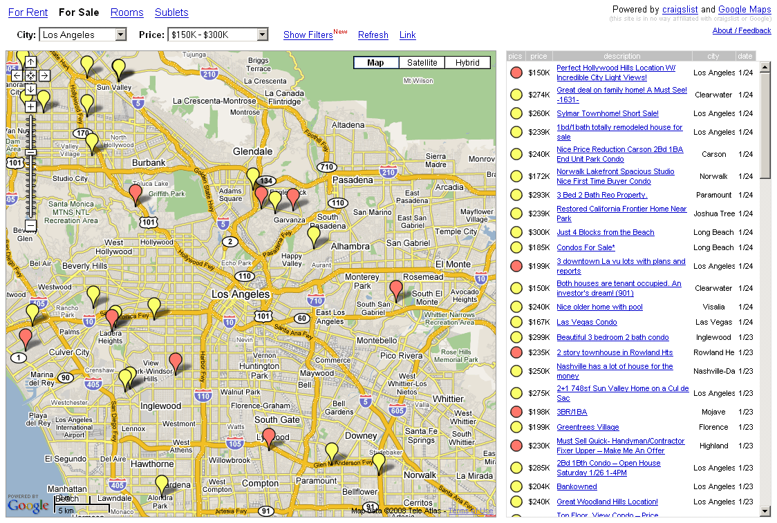
HousingMaps: Properties for sale in Los Angeles (Image taken Feb 2009).
The first such mashup to have been produced using Google Maps is generally identified as www.housingmaps.com. HousingMaps integrates two data sources: base data taken from Google Maps, and information on properties for sale or rent taken from craigslist, a popular site that allows free placing of classified ads. The interface was simple: a map occupied most of the screen, and there were some simple filters that allow users to select by city and by price bracket.
The site was typical of simple mashups. A number of markers were drawn on the base map, and these linked to data taken from the third party source. When markers are defined in a Google Map, they require location information, but also allow further data to be associated with them (typically text and graphics). Thus, by clicking on one of the markers, a popup window showed images and gave details of the individual property.
Task
Using the wayback machine, look for previous versions of the housingmaps home page.
When was the first version recorded? How much time had elapsed between Google Maps becoming available, and this mash up being made available?
The site usually identified as being the second mashup produced is www.chicagocrime.org (Sadly this site is no longer working). ChicagoCrime used reported crime data, as collated by the Chicago police department, and mapped the locations at which these crimes had been reported. The figure below shows reported cases of aggravated arson. The site integrated a rather more complex and varied data source than the property data in the HousingMaps example, and the site contained multiple pages to drive the mashup application.
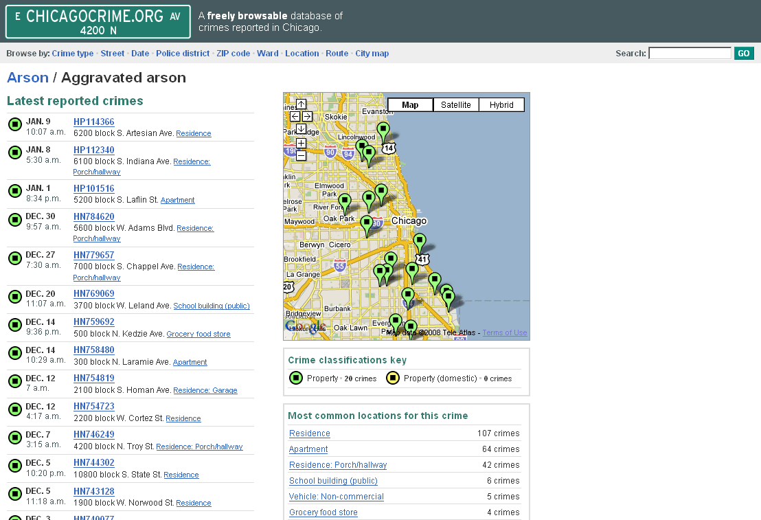
ChicagoCrime: Incidences of aggravated arson
These early examples are pretty simple by today's standards. If you are interested in the different types of mash-ups that can be made, have a look at the following:
Have a search around and see what mashups you can find. Any really good/bizarre ones - e-mail me!!!!
[ Next: How mash ups work ]
[Course Index]