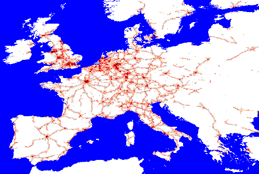
Railway network density
Description
Using ArcInfo a fine 0.1 DM grid with a value of 1 for cells which contained railway (a selection from the communications network) and a value of 0 otherwise was created. This grid was aggregated into 1, 2, 3, 5, 7, 11, 13 DM resolution grids with the values in each cell being the sum of cells values in the fine grid. ArcView was then used to split the higher level aggregations into the 1DM resolution so that all the grids contained the same number of cells. The aggregations were then weighted and summed together to produce the cell values mapped above.Source=Bartholomew data
Comments
- Similarly to the motorway and dual carriageway selection from the communications network layer this density layer highlights the densely populated areas.