Secondary Landuse

Description
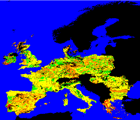
There are 20 classes of secondary agricultural landuse for both dominant and secondary landuse. This data input was created simply by converting the polygons into a grid using ArcView. There are a greater number of No information or No Data cells compared to those of dominant agricultural landuse as sometimes there is no obvious secondary agricultural landuse or the information simply isn't available.Source data=Soils geographical database of Europe at scale 1:1,000,000 version 3.2