Masters courses


<h3>Study online</h3>
Study modules from our Geographical Information Science (online) MSc as online short courses, enabling you to build up credits over a six-year period and exit with a qualification.
Studying with us

Watch our Masters talks
Discover how you can take your knowledge to the next level with a Masters degree.
More
View our facilities
You'll have access to industry-recognised equipment and laboratories throughout your degree.
More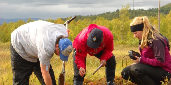
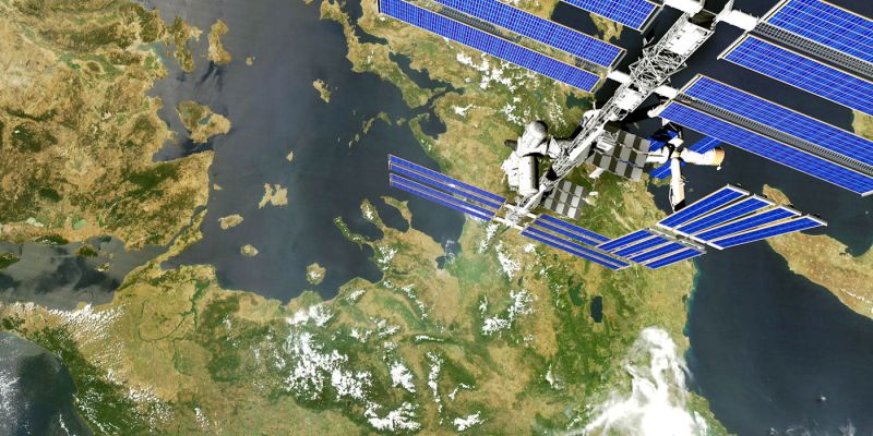
Explore our research
Our research expertise means we deliver teaching that’s informed by the latest discoveries.
More
Funding your degree
Find out more about your options for making your degree a reality with funding.
MoreExploring Leeds
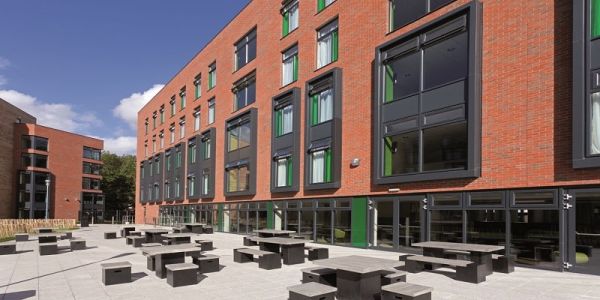
Grand buildings, iconic landmarks and sustainable green space: our single-site campus has it all. When you study at the University of Leeds, you’ll be on the doorstep to one of the most vibrant and multicultural cities in the UK, with the benefit of enjoying our historic campus.


Yunyi Zhang
Geographical Information Systems MSc
"I have gained invaluable experiences, friends, connections and confidence through taking this masters course and I am so happy I took the plunge."

Anna Wolski
Urban Data Science and Analytics MSc
"I am hoping for a career where I can use my geographical background and use the data handling skills I am learning through my masters course to make a difference in industry and for communities."

Ilya Ilyankou
Geographical Information Science MSc
"It is one of the best investments you can make. The course gives you solid fundamentals and tons of practical knowledge, while providing flexibility. "