WELCOME TO THE RAINFOR WEBSITE
The Amazon Forest Inventory Network is a long-term, international collaboration to understand the dynamics of Amazon ecosystems. Since 2000 we have developed a framework for systematic monitoring of forests from the ground-up. This is centred on plots that track the fate of trees and species, and includes soil and plant biogeochemical records, as well as intensive monitoring of carbon cycle processes at some sites. RAINFOR works with partners across the nations of Amazonia to support and sustain their forest monitoring and help develop new generations of Amazon ecologists. The work of RAINFOR is currently supported by funding agencies in Brazil, the UK, and the EU.
Field Campaigns
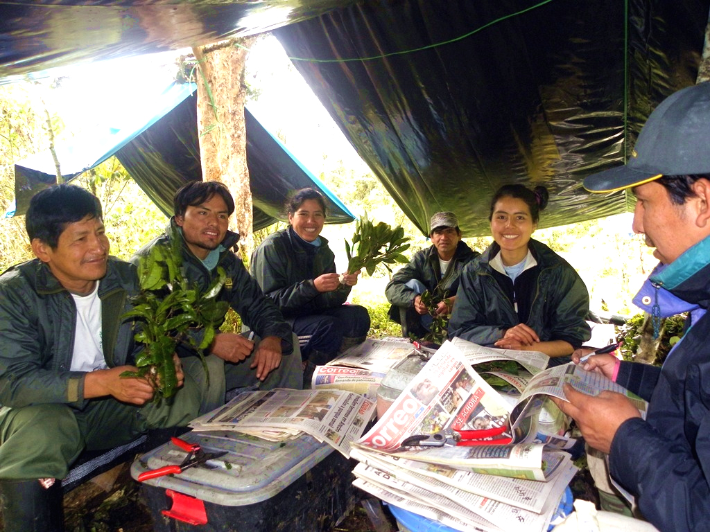
Plant identification in Peru (photo Abel Monteagudo)
Read More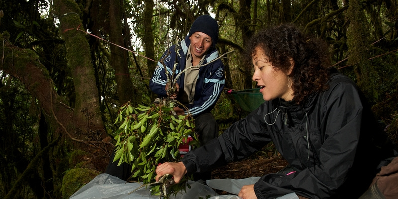
Cloud forest (photo Jake Bryant)
Read More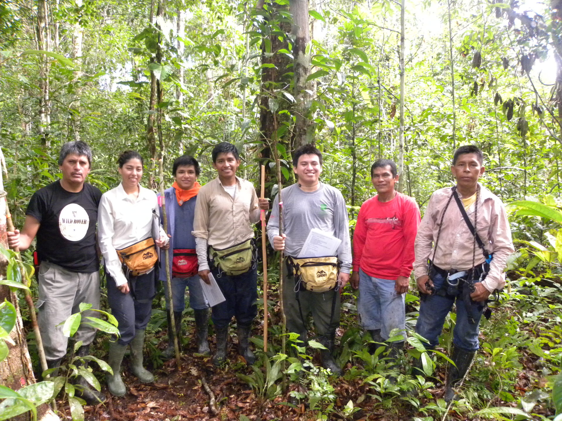
Field team re-census of ALP-11 2015 (photo Abel Monteagudo-Mendoza)
Read More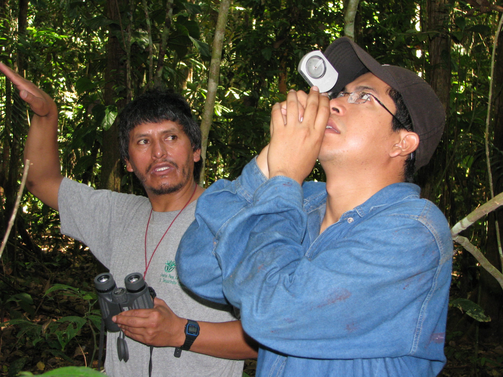
Measuring tree height (photo Roel Brienen)
Read More
Tree climbing (photo Bia Marimon)
Read More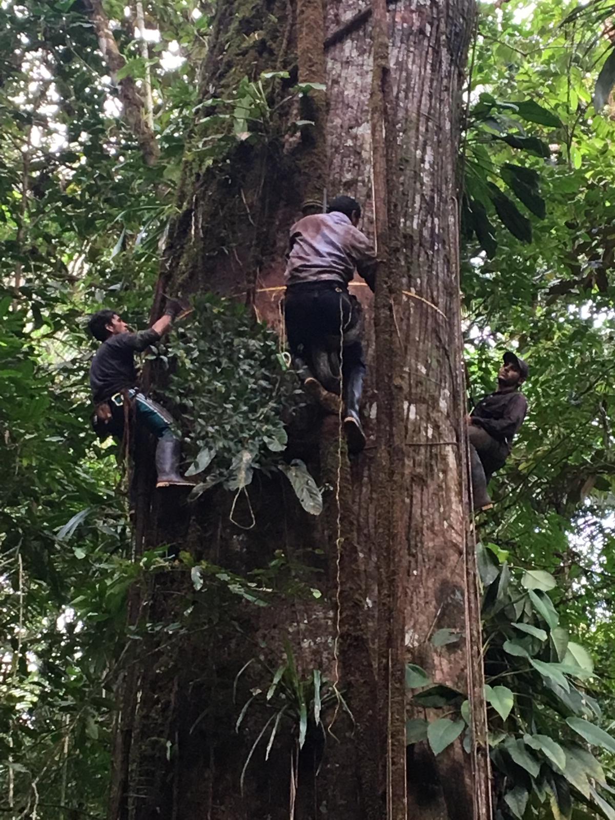
Measuring a large tree, Colombia (photo Esteban Álvarez Dávila)
Read More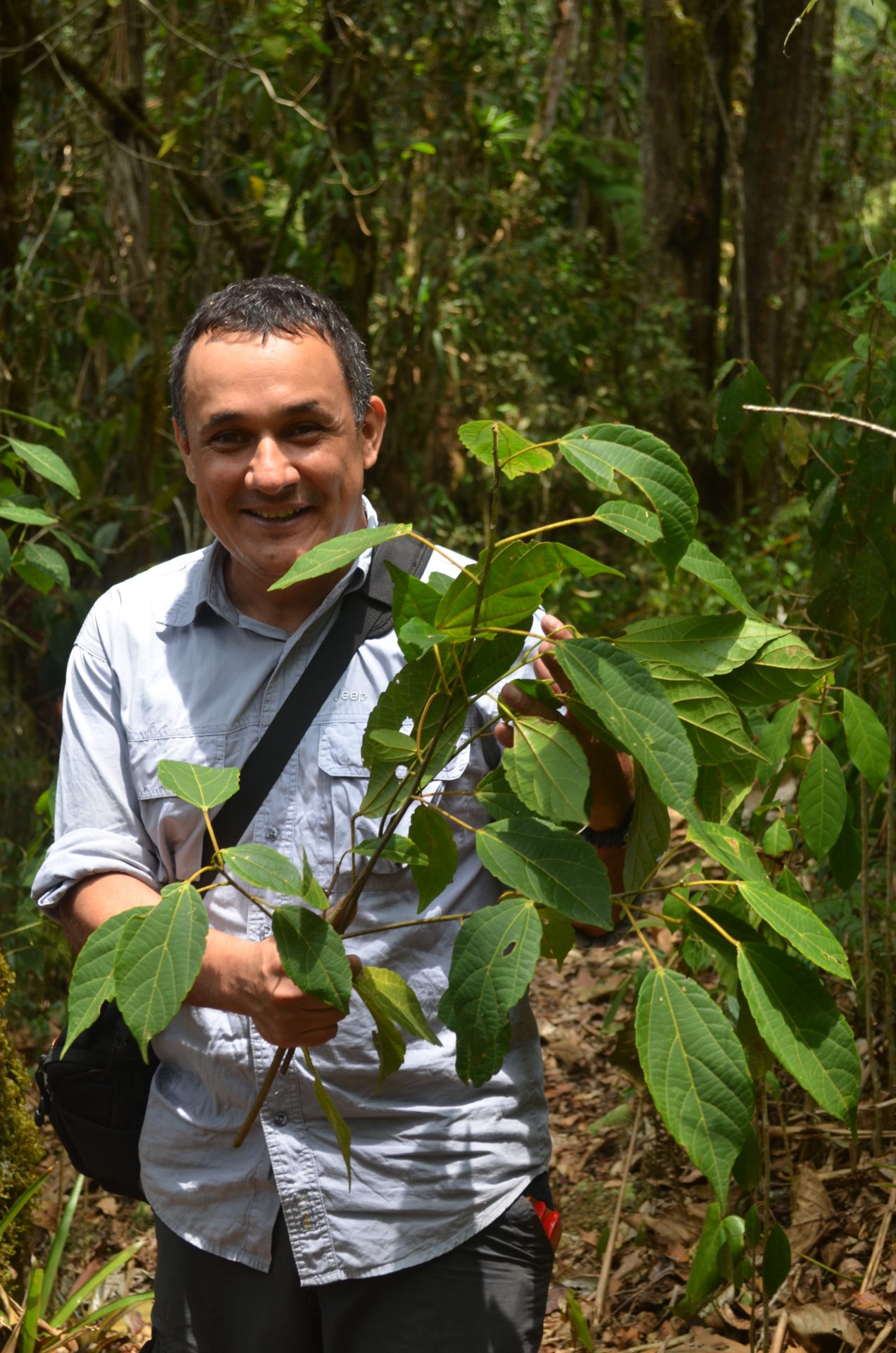
Photo Emilio Vilanova
Read More
Tree measurement
Read More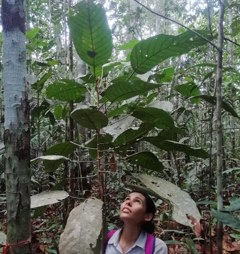
Pseudomonotes tropenbosii, Peña Roja, Araracuara, Colombia, a community permanent plot contributing to RAINFOR. The only Amazon dipterocarp tree species.
Read More